LiDAR Hillshade (2025)
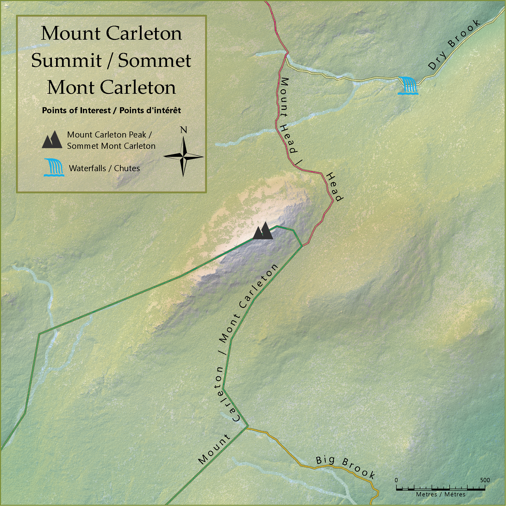
This small route map of Mount Carleton in New Brunswick was created using LiDAR data, allowing the route lines and rivers to be placed under the tree canopy.
This small route map of Mount Carleton in New Brunswick was created using LiDAR data, allowing the route lines and rivers to be placed under the tree canopy.